
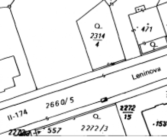
GeoRefImg is a LISP utility for AutoCAD 2004 to 2018 versions; it can automatically re-position raster images in a drawing to the position defined in the images' World files. World files define geo-position and other parameters of images in TIF, CIT, JPG, JP2, PNG, GIF, BMP, ECW, SID, and other formats.





Comments